
Sacramento has no shortage of fall weather quirks — but nothing defines a Central Valley winter quite like tule fog. It rolls in quietly, usually overnight, and by morning it can turn a familiar commute into something unsettling. For newcomers to the region, that first dense fog morning can feel genuinely alarming. For longtime residents, it is simply part of life from October through February.
Here is what you actually need to know about tule fog — where it comes from, when to expect it, and how to move around the region safely when it settles in.
What Is Tule Fog?
Tule fog (pronounced “too-lee”) is a type of radiation fog that forms in California’s Central Valley. The name comes from the tule sedge grass — a bulrush native to California wetlands — that once blanketed the Sacramento Delta and the low-lying marshes throughout the valley.
The mechanics are straightforward. On clear autumn nights, the valley floor radiates heat back into the sky and cools rapidly. Moisture-laden air near the ground condenses into fog. With mountains ringing the Sacramento area on three sides, there is nowhere for that air mass to move, so the fog thickens and stays put.
The result can be startling. Tule fog is among the thickest ground fogs in North America. Visibility can drop to a quarter mile — or less. On the worst mornings, it is measured in feet, not miles.
When to Expect It
Tule fog season runs roughly from late October through mid-February, with the heaviest weeks typically falling in November, December, and January. September and early October are too warm; the valley floor never cools enough to trigger condensation. By March, longer days and warmer temperatures end the season.
Individual fog events can last anywhere from a few hours to multiple consecutive days. The fog usually forms overnight and often burns off by mid-morning as the sun heats the ground. But on cold or overcast days, it can hang until afternoon — or simply not clear at all.
Why Sacramento Gets It So Badly
The Sacramento Valley’s shape is the main culprit. The valley sits between the Coast Ranges to the west, the Sierra Nevada to the east, and foothills to the north and south. Cold, moist air flows in through the Delta from the Bay Area but has nowhere to escape. Add irrigated farmland that keeps soil moisture elevated year-round, and the valley becomes a fog-production machine.
Areas near the Sacramento River, the American River, and the Yolo Causeway tend to experience the densest conditions, since fog forms most readily over water and low-lying wetland ground.
How to Check Conditions Before You Leave
Two free tools Sacramento drivers rely on every fog season:
- National Weather Service Sacramento (weather.gov/sto): The NWS Sacramento office issues Dense Fog Advisories when visibility falls at or below one quarter mile. Check their site for current advisories before heading out on foggy mornings. If there is a Dense Fog Advisory in effect, treat it seriously.
- Caltrans QuickMap (quickmap.dot.ca.gov): Shows live road conditions across California, including highway closures and weather-related slowdowns. During severe fog events, Caltrans has authority to close stretches of Interstate 5 and Highway 99.
Checking both before you leave takes about two minutes. On a Dense Fog Advisory morning, it is worth it.
Driving Safely in Tule Fog
Tule fog is consistently one of the leading contributors to multi-vehicle accidents on California highways. The most dangerous scenario is a chain-reaction crash on I-5 or Hwy 99 where visibility is effectively zero and drivers cannot see stopped traffic until it is too late.
Here is what to do when you have to drive in it:
- Use low-beam headlights, not high beams. High beams reflect off fog particles and actually reduce your forward visibility. Low beams or dedicated fog lights direct light toward the road surface where it helps.
- Slow down significantly. Posted speed limits assume normal visibility. In dense fog, drop your speed well below the limit. If you cannot see far enough ahead to stop safely, you are going too fast.
- Increase your following distance. Double or triple your normal gap between vehicles.
- Use the right-edge fog line as your guide. The right edge stripe is easier to follow than center lane lines in near-zero visibility.
- Pull completely off the road if visibility reaches zero. Get to a rest stop, a parking lot, or a full shoulder — not just the highway edge. Turn off your lights once parked so drivers do not follow your taillights. Wait for conditions to improve.
- Avoid the freeway when possible. Surface streets move at speeds that match the reduced visibility far better than I-5 or Hwy 99. For in-city driving, sticking to streets you know well at 20–25 mph is far safer than any freeway on a zero-visibility morning.
The Silver Lining
Tule fog has a way of turning Sacramento into something unexpectedly beautiful. Capitol Park, usually bright and open, becomes atmospheric and hushed in a thick morning fog. The Sacramento River waterfront takes on a black-and-white-photograph quality. The Tower Bridge disappears partway up its arches.
If you are walking rather than driving, an early fog morning in Land Park or East Sacramento — both full of mature valley oaks and London planes — is worth the cold. The fog muffles street noise, drips off the canopy, and gives the city a rare sense of quiet.
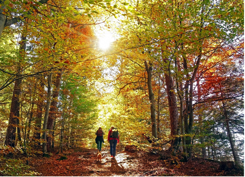
On the days when it stays put all morning, swap the drive for a walk and leave the car home. On the days when it lifts by 10 a.m., the fall hiking trails around the region are at their most beautiful in the clear air that follows. See Sacramento’s best fall hikes for trail ideas once the fog burns off.
If the fog is committing to a full day inside, there is no shortage of options. Sacramento’s rainy-day activity guide covers most of the same fog-day scenarios — museums, indoor markets, coffee shop crawls, and the city’s best spots for a long morning sit.
The Details
- Tule fog season: Late October through mid-February
- Peak months: November, December, January
- Forecast source: weather.gov/sto (NWS Sacramento)
- Road conditions: quickmap.dot.ca.gov (Caltrans QuickMap)
- Dense Fog Advisory threshold: Visibility at or below ¼ mile
- Typical burn-off time: Mid-morning on sunny days; may persist all day on overcast days
- Best fog photography spots: Capitol Park, Tower Bridge, Sacramento Riverfront, American River Parkway, Yolo Causeway
- Worst fog corridors: Interstate 5 south of Sacramento, Hwy 99 through the Central Valley
Bottom Line
Tule fog is unavoidable if you live in Sacramento long enough. The best strategy is to treat any Dense Fog Advisory the way you would a severe weather warning: check conditions before you leave, drive far slower than feels necessary, and use the NWS Sacramento and Caltrans tools to decide whether to wait it out. On the mornings when you can walk instead of drive, do that. The fog turns Sacramento into a very different place — worth seeing, just not from a freeway in zero visibility.