Roseville sits at the base of the Sierra Nevada foothills in Placer County, about 25 miles northeast of downtown Sacramento via I-80. With roughly 175,000 residents, it is one of the larger cities in the Sacramento area—spread across a mix of older downtown neighborhoods and newer master-planned communities that have expanded outward from the city’s historic commercial core along Vernon Street and Douglas Boulevard.
For anyone relocating from the Bay Area, the math shifts noticeably: you are closer to Tahoe ski resorts than to San Francisco, and most I-80 trailheads are under 90 minutes away. That access, paired with a city-owned electric utility and a working Amtrak station, sets Roseville apart from most Sacramento suburbs.
What You’ll Find Here
The downtown core and older residential areas closest to the Vernon Street commercial district include the city’s original housing stock: single-family homes built from the 1940s through the 1970s, mostly on lots of 5,000 to 7,500 square feet. Craftsman bungalows and ranch-style homes are common in these blocks, some on tree-lined streets that date to Roseville’s railroad-era growth.
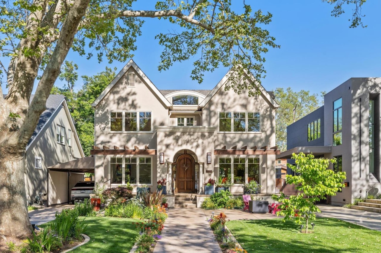
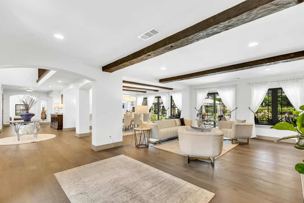
West Roseville, Fiddyment Farm, and Westpark are the city’s newer build zones, with homes dating from the late 1990s through the mid-2020s. Lots in these developments typically run 5,500 to 8,500 square feet. Most include HOA covenants and shared common areas such as trails and community greenbelts. Home styles lean toward two-story stucco construction, with floor plans in the 1,800–3,500 square-foot range depending on the phase.
Sun City Roseville, on the northwest side of the city, is a 55-and-older community developed by Del Webb in the 1990s. It has its own recreation campus and is a common first stop for buyers specifically looking for an age-qualified community.
Housing Prices
Home values in Roseville run significantly lower than Bay Area benchmarks but higher than most Sacramento County neighborhoods to the south and west. Prices vary considerably by area and by build era. For current median sales prices filtered to specific zip codes—95661 for northeastern Roseville, 95678 for the downtown and older sections, and 95747 for West Roseville—check Zillow or Redfin and filter to closed sales over the past 90 days for the most current picture.
Commute and Transit
By car, I-80 west connects Roseville to downtown Sacramento. Under normal traffic conditions the drive runs 25 to 35 minutes; during the westbound morning peak it can stretch 45 to 55 minutes. Highway 65 runs north toward Lincoln and south toward Roseville’s western edge, and SR-50 is accessible by continuing through Sacramento toward the South Area.
For train travel, the Capitol Corridor (Amtrak) stops at Roseville’s station at 201 Pacific Street, Roseville CA 95678. Multiple trains run daily between Roseville and Sacramento Valley Station (downtown Sacramento), and the route continues through the Bay Area to San Jose. The station has free surface parking. Check amtrak.com or the Capitol Corridor app for current schedules and fares.
Placer County Transit operates local and commuter bus routes within Roseville and connecting to other Placer County cities.
Parks and Open Space
Johnson-Springview Park, off Atkinson Street near the northeast side of the city, is the main community park, with lighted sports fields, picnic facilities, and a seasonal pool. Royer Park follows Dry Creek on the west side and includes paved paths, a rose garden, and picnic shelters in a more naturalized setting. Mahany Park near Harding Boulevard adds courts, open turf, and a walking loop.
For longer hikes, the American River Confluence area and the Auburn State Recreation Area are both under 25 minutes east on I-80. Folsom Lake State Recreation Area is about 20 minutes south. See the best winter hikes near Sacramento for trail options you can reach from Roseville year-round.
Setting Up Utilities
Roseville is one of the few Sacramento-area cities with its own municipal electric utility. Roseville Electric is city-owned; new residents set up electric service directly through the city rather than through PG&E or SMUD. Natural gas is served by PG&E throughout the city.
Water, sewer, and solid waste collection are all handled by the City of Roseville Utilities Department. Set up all city services—electric, water, sewer, and trash—at roseville.ca.gov before move-in day.
For vehicle registration, the Roseville DMV field office is at 7200 Galilee Road, Roseville, CA 95678. Hours are Monday, Tuesday, Thursday, and Friday 8:00 a.m. to 5:00 p.m., and Wednesday 9:00 a.m. to 5:00 p.m., closed weekends. AAA members can handle most routine transactions—registration renewals, title transfers, and license renewals—at an AAA office without an appointment.
Roseville is served by several school districts depending on your exact address. The main ones are Roseville City School District (K–8), Roseville Joint Union High School District (high school), and portions of West Roseville fall under Western Placer Unified School District. Each district provides a boundary locator on its own website; enter your address before you close on a property to confirm which district serves that parcel.
The Details
- County: Placer County
- Approximate population: 175,000
- Main freeway: I-80 west to Sacramento (~25–35 min off-peak)
- Train: Capitol Corridor Amtrak, 201 Pacific Street, Roseville CA 95678
- Electric: Roseville Electric (city-owned; set up at roseville.ca.gov)
- Gas: PG&E
- Water, sewer, trash: City of Roseville Utilities (roseville.ca.gov)
- DMV: 7200 Galilee Road, Roseville CA 95678 — Mon/Tue/Thu/Fri 8am–5pm, Wed 9am–5pm
- School districts: Check boundary locators at Roseville City SD, RJUHSD, and Western Placer Unified websites
- Zip codes: 95661, 95678, 95747
Bottom Line
Roseville offers infrastructure you don’t find in every Sacramento suburb: a city-owned electric utility that bypasses PG&E entirely, a working Capitol Corridor Amtrak station with direct service to Sacramento and the Bay Area, and I-80 access that puts Tahoe’s ski terrain closer than the Golden Gate. The range of housing—from 1950s ranch homes near the historic core to newer master-planned communities in West Roseville—gives buyers and renters more choices than most comparable suburbs at this distance from Sacramento.
Planning a move to the Sacramento region? Moving to Sacramento: The Local’s Guide (free download)
Also see: Moving to Folsom, CA | Ski Resorts Near Sacramento