Rocklin sits at the edge of the Sacramento Valley and the lower Sierra Nevada foothills, 22 miles northeast of downtown Sacramento on Interstate 80. It is a city of roughly 76,800 residents in Placer County — incorporated in 1893, though most of its current housing stock went up between the late 1980s and 2010s. If you are weighing a move from the Bay Area or evaluating Sacramento-area suburbs, Rocklin comes up early in that conversation for one straightforward reason: it offers more square footage per dollar than most of its neighbors, and it sits on a major transit corridor.
The Housing Stock
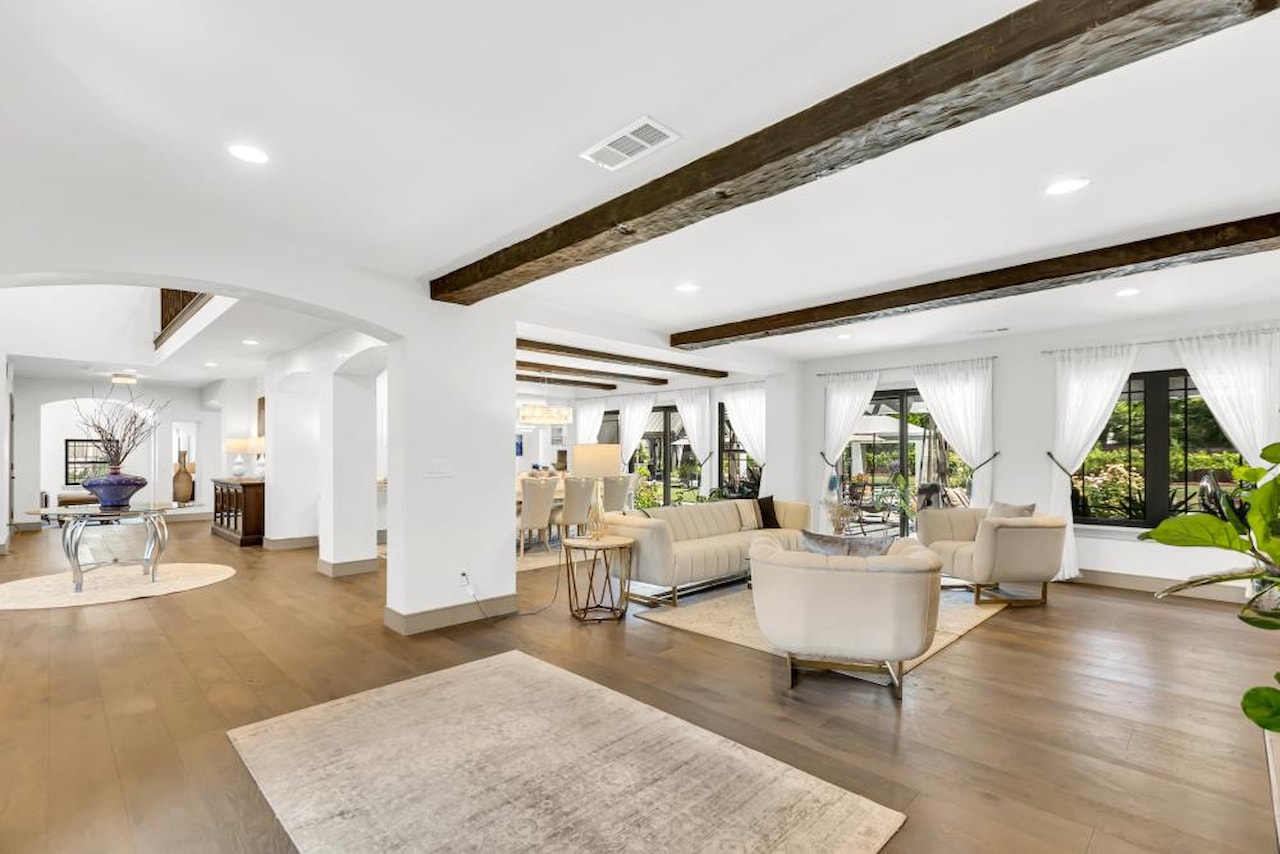
Most of Rocklin is single-family detached homes built during two distinct eras. The original downtown core — clustered around Pacific Street and the old railroad right-of-way — has pre-1950s homes on compact lots, many under 6,000 square feet, with one- and two-story Craftsman and ranch-style construction. The far larger suburban build-out happened from the late 1980s through the early 2010s, when subdivisions filled in the city’s western and northern quadrants. Those homes sit on typical suburban lots ranging from roughly 5,000 to 10,000 square feet, with two-car garages, low-pitch rooflines, and stucco exteriors.
The Whitney Oaks area, developed in the early 2000s, features some larger custom lots adjacent to the Whitney Oaks Golf Club. The Clover Valley corridor on the city’s northern edge has remained relatively open, with scattered parcels backing up to the Clover Valley Regional Park natural area.
The median home value in Rocklin is $807,811, with the largest share of the housing stock — 43.9 percent of homes — priced between $553,001 and $830,000, and 26.9 percent priced between $830,001 and $1,106,000. (Source: NeighborhoodScout, Q1 2026.) That range puts entry-level Rocklin homes noticeably below Bay Area medians for comparable square footage.
Getting Around
Interstate 80 and State Route 65 intersect inside Rocklin, making it a logical hub for anyone commuting into Sacramento or heading toward Lincoln and Marysville. The drive to Sacramento’s downtown core runs about 25 to 35 minutes off-peak on I-80; expect longer during morning and evening rush hours. Bay Area commutes via I-80 to Emeryville take roughly two to two and a half hours under normal conditions.
Rocklin has its own Capitol Corridor Amtrak station, station code RLN. The Capitol Corridor route connects Rocklin to Sacramento Valley Station (roughly 25 to 35 minutes), Richmond BART (about two hours), and San Jose Diridon (about three hours). Schedules and tickets are available at capitolcorridor.org. Placer County Transit runs local bus service within the Rocklin-Roseville corridor; routes and fares are posted at placertransit.com.
Parks and Open Space
The city maintains several neighborhood parks: Clarke Dominguez Park, Twin Oaks Community Park, Pebble Creek Park, Breen Park, and Monument Park are among the larger facilities with ball fields, picnic areas, and playgrounds. Sunset Whitney Recreation Area, operated by Placer County, offers hiking and equestrian trails on the city’s northwestern edge.
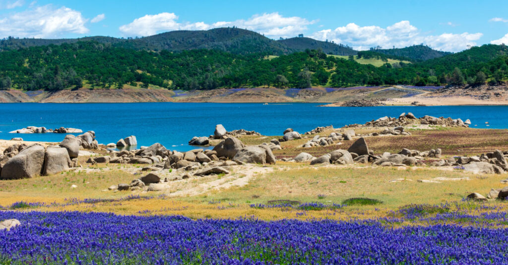
Folsom Lake State Recreation Area is about 10 miles from central Rocklin, accessible via Blue Oaks Boulevard to Granite Bay or SR-49 to the Folsom side. The lake has swimming beaches, boat launches, and over 90 miles of hiking and equestrian trails. For current hours, fees, and beach conditions, see the California State Parks page at parks.ca.gov.
Setting Up Utilities
Rocklin falls in PG&E’s service area for electricity and natural gas. The City of Rocklin provides municipal water and sewer service; contact Rocklin’s Utilities Division at rocklin.ca.gov to establish a new account. Trash and recycling pickup is handled by Republic Services; new residents can set up service at republicservices.com.
The nearest DMV field office is in Roseville at 7200 Galilee Road, Roseville, CA 95678. Hours are Monday, Tuesday, Thursday, and Friday 8 a.m. to 5 p.m., and Wednesday 9 a.m. to 5 p.m. Appointments are available at dmv.ca.gov.
Rocklin falls within the Rocklin Unified School District. Use the district’s boundary locator at rocklinusd.org to confirm which school serves your specific address.
The Details
- Location: Placer County, 22 miles northeast of Sacramento on I-80
- Population: approximately 76,800 (2025 estimate, Wikipedia)
- Area: 19.83 square miles
- Median home value: $807,811 (NeighborhoodScout, Q1 2026)
- Freeway access: I-80 and SR-65
- Train: Capitol Corridor Amtrak, Rocklin station (RLN)
- Electricity and gas: PG&E
- Water and sewer: City of Rocklin
- Trash: Republic Services
- DMV: 7200 Galilee Road, Roseville (Mon–Fri, 8 a.m.–5 p.m.; Wed opens 9 a.m.)
Bottom Line
Rocklin gives buyers more square footage at a lower price per foot than many Bay Area markets while still offering a direct I-80 corridor into Sacramento and a Capitol Corridor Amtrak connection toward the Bay. The city’s housing stock runs heavily toward suburban single-family homes from the 1990s and 2000s, with the original downtown core offering older, smaller-lot inventory. If your work schedule allows for occasional rail commuting or you are primarily anchored to Sacramento, Rocklin sits at a reasonable position on the distance-versus-cost tradeoff for the region.
For more on other Sacramento-area communities, see our guide to moving to Folsom, our Roseville relocation guide, and the Sacramento area ski resort guide for a preview of winter recreation in the Sierra.