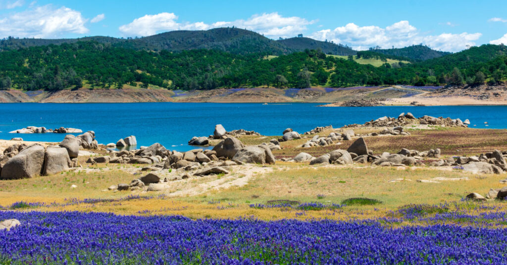

Fair Oaks is an unincorporated community in Sacramento County — not a city, so there’s no city hall, no city council, and no incorporated city limits. What it has is a distinct character: rolling, tree-canopied streets, a historic Village district along a creek, and roughly two miles of frontage on the American River. It sits about 14 miles northeast of downtown Sacramento, between Carmichael to the west, Citrus Heights to the north, and Orangevale to the east.
People moving here from the Bay Area sometimes expect another suburb. Fair Oaks reads more like a loose-knit foothill community that happens to be a 20-minute commute from downtown Sacramento. If that combination matters to you — outdoor access, a walkable village core, mid-century housing stock, no HOA in most parts — this area is worth understanding before you start touring homes.
Housing Stock and Build Era
Most of Fair Oaks was built between 1940 and 1999. NeighborhoodScout data from Q1 2026 breaks it down: about 29.6% of homes were built from 1940 to 1969, and 58.1% from 1970 to 1999. Only about 10% of the housing stock dates from 2000 or later, and pre-1940 homes make up roughly 2%.
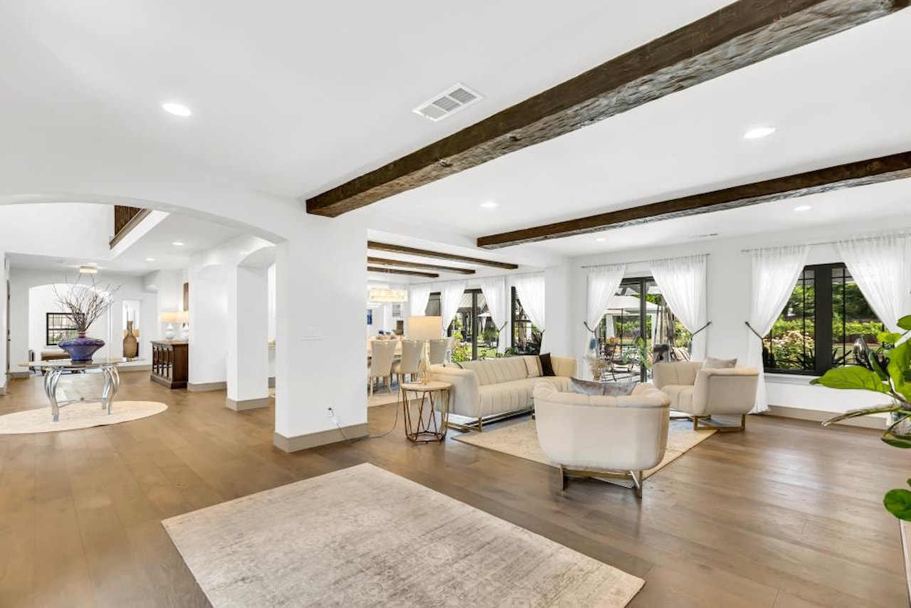
In practice, that means the dominant housing type is a California ranch house on a standard suburban lot — often 7,000 to 10,000 square feet in the flatlands near the Village, larger on the canyon lots above the river. Custom homes and pocket neighborhoods of newer construction exist in the northeastern sections, but they are exceptions. Most of the inventory is single-family detached.
Homeownership rates are high: about 67% of units are owner-occupied, according to 2020 census data. Apartment and rental inventory is limited compared with Citrus Heights or Rancho Cordova nearby.
Home Prices
The median home value in Fair Oaks was $745,946 as of Q1 2026, according to NeighborhoodScout. The most common price range — roughly 43% of homes — falls between $553,000 and $829,000. Upper-end properties, particularly those with American River canyon views, frequently exceed $1 million. That range is well below comparable-sized homes in most Bay Area suburbs, though notably higher than Rancho Cordova, Citrus Heights, or Antelope in the same county.
Commute Routes
Most Fair Oaks residents commute by car. The two main exit points onto Highway 50 (which connects Fair Oaks to downtown Sacramento in roughly 20 minutes without traffic) are Sunrise Boulevard and Hazel Avenue. Both exits feed quickly onto the freeway going westbound. Sunrise Boulevard is typically the faster of the two.
Hazel Avenue also connects to Interstate 80 via Douglas Boulevard if you’re heading north or west toward Roseville and Lincoln.
Sacramento Regional Transit’s Gold Line (light rail) serves the area via the Hazel station on Hazel Avenue near Folsom Boulevard. The station is at the eastern end of the light rail system; depending on where in Fair Oaks you live, the station may be a 5–15 minute drive. From Hazel, downtown Sacramento is about 30 minutes by train. The RT trip planner at sacrt.com gives current schedules and connections.
American River Parkway and Parks
The American River forms Fair Oaks’ southern border and the community has direct access to the American River Parkway, which runs about 32 miles from Folsom Lake to Discovery Park near downtown Sacramento. The main Fair Oaks access points are near the Fair Oaks Bridge and the Red Bridge; the latter has canyon overlooks and trails above the river.
The Village area — a commercial district in the northwest corner of Fair Oaks centered on Fair Oaks Boulevard and Oak Avenue — includes Veterans Memorial Amphitheatre and Village Park, which is currently undergoing a $27 million renovation funded by a Sacramento County bond. The park dates to 1918. Fair Oaks Park, adjacent to the Sacramento Public Library branch at 11601 Fair Oaks Boulevard, provides another open space in the central part of the community.
Utilities and Setup
Electric: Sacramento Municipal Utility District (SMUD) covers most of Sacramento County. To confirm whether your specific Fair Oaks address falls in SMUD’s service territory, use the board member lookup tool at smud.org. If you’re within SMUD territory, enrollment is straightforward — start service online or call their new account line.
Water: The Fair Oaks Water District provides water service to most of the community. Some areas closer to Citrus Heights or along the outer boundaries may fall under neighboring district service. Contact the Fair Oaks Water District directly to confirm service and start an account.
Trash and recycling: As an unincorporated area, waste collection in Fair Oaks is administered through Sacramento County. Check the Sacramento County Department of Waste Management and Recycling (SacCounty.gov) to identify your collection schedule and bin allocation after you establish residency.
DMV: The nearest California DMV field office is in Rancho Cordova. Use the DMV’s office locator at dmv.ca.gov to find current hours and make a reservation. Appointment wait times in the Sacramento region can run several weeks; booking online in advance is worth it.
School District
Fair Oaks sits within the San Juan Unified School District. The district boundary tool at sanjuan.edu takes a home address and returns the neighborhood school assignment for that address. High schools in the Fair Oaks attendance area include Bella Vista High School and Del Campo High School, depending on where your property falls within the district map.
The Details
- What: Unincorporated community in Sacramento County (not a city)
- Location: Northeast of Sacramento; about 14 miles from downtown via Highway 50
- Housing: Mostly ranch-style homes from 1940–1999; median $745,946 (Q1 2026, NeighborhoodScout)
- Commute: Highway 50 via Sunrise or Hazel exits; light rail at Hazel station
- Electric: SMUD (confirm address at smud.org)
- Water: Fair Oaks Water District
- Trash: Sacramento County Department of Waste Management
- DMV: Rancho Cordova field office (appointment at dmv.ca.gov)
- Schools: San Juan Unified School District; boundary finder at sanjuan.edu
Bottom Line
Fair Oaks offers something most Sacramento suburbs don’t: direct American River Parkway access within a community built primarily before the 1990s, without the density or HOA structures common in newer master-planned suburbs. Housing prices sit above Rancho Cordova and Citrus Heights, and the commute into downtown Sacramento is straightforward by car or light rail. For buyers coming from the Bay Area, the price-to-lot-size ratio and the unincorporated nature of the community — with county governance rather than city codes — can be a meaningful difference from incorporated cities nearby.
For a broader overview of moving to the region, see Moving to Carmichael, CA, which shares similar American River Parkway access and San Juan USD boundaries, and Moving to Rancho Cordova, CA for a more urban Sacramento County option.