
Rancho Cordova sits 15 miles east of downtown Sacramento along Highway 50, and it has one of the clearest origin stories in the Sacramento region: a postwar housing boom followed by decades as an unincorporated area, then a vote to incorporate as an independent city in 2003. The city covers roughly 34.6 square miles, is home to around 79,000 residents, and is bisected by the Folsom Boulevard corridor that connects it west to Old Sacramento and east to the city of Folsom.
A large aerospace and defense presence—anchored by L3Harris Technologies, which operates the former Aerojet Rocketdyne facility on Aerojet Road—has long defined the city’s economy, alongside technology services, healthcare, and logistics employers along the Highway 50 corridor.
Housing Stock and Neighborhoods
The housing in Rancho Cordova splits roughly into two eras. The older Sunrise-area neighborhoods along and south of Folsom Boulevard were built primarily from the late 1950s through the 1970s. These are typically ranch-style and split-level single-family homes on lots ranging from about 6,000 to 8,500 square feet, with mature street trees and attached garages. Many are three-bedroom, one-and-a-half or two-bath homes in the 1,100-to-1,600-square-foot range.
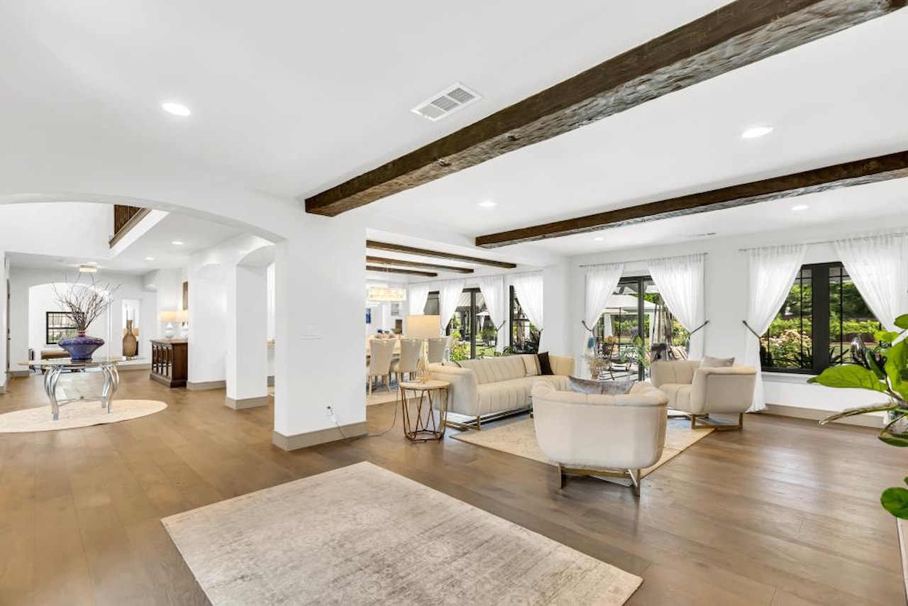
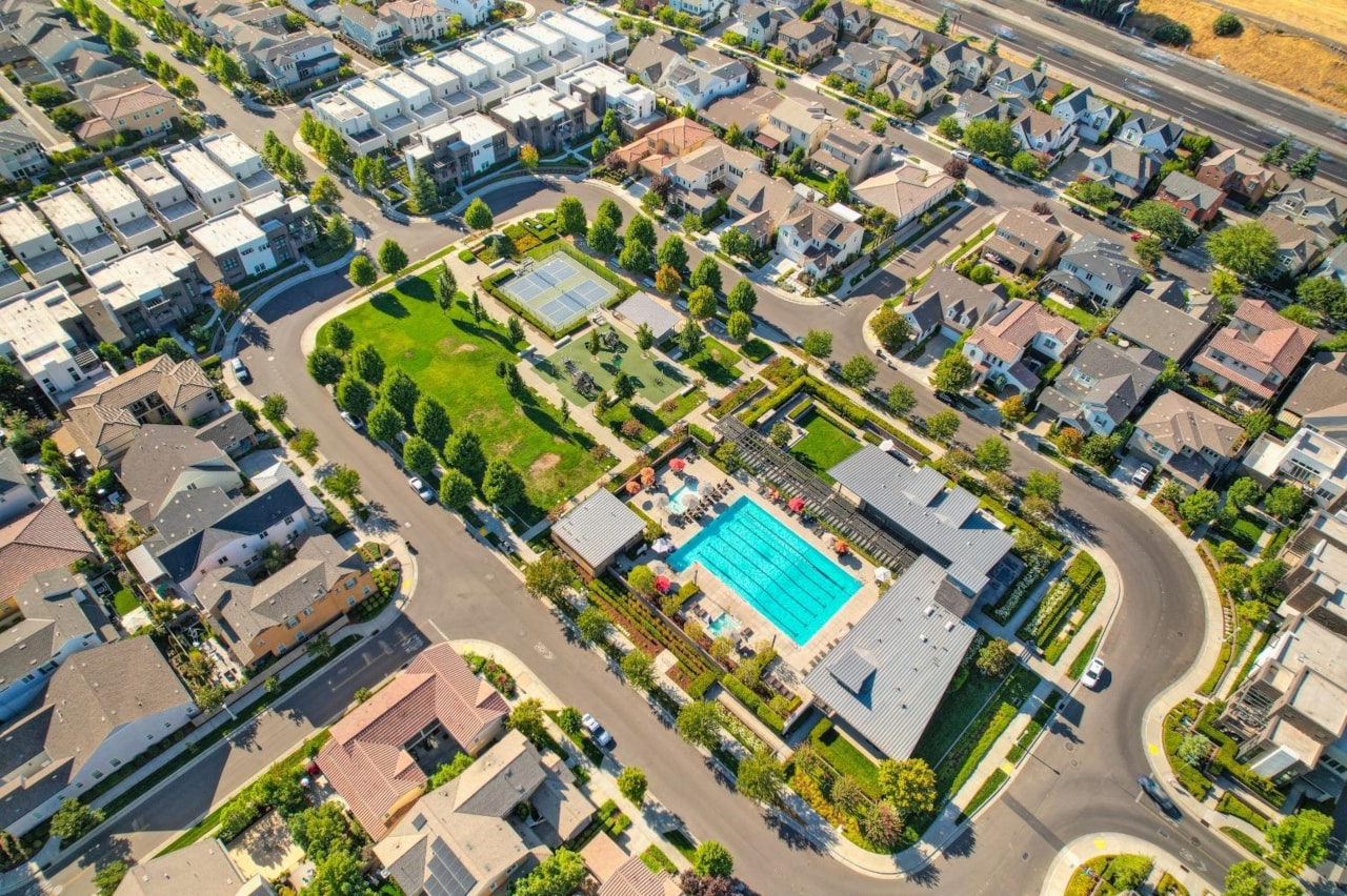
The Anatolia area, in the city’s southeastern corner (zip code 95742), is a master-planned community built out between the early 2000s and the mid-2010s. Homes here run larger—typically 1,800 to 3,200 square feet—on lots from roughly 5,500 to 10,000 square feet, with neighborhood parks and a community recreation center built into the plan.
As of August 2026, the median closed sale price in Rancho Cordova was $529,999, based on 490 transactions tracked over six months (Resideline, August 2026). That figure sits notably below the broader Sacramento metro median.
Getting Around
Highway 50 is the primary east-west artery, connecting Rancho Cordova to downtown Sacramento (roughly 15–25 minutes depending on traffic) and continuing east toward Folsom and El Dorado Hills. Sunrise Boulevard is the main north-south road, linking the two Highway 50 corridors and providing access to Folsom Boulevard retail and services.
Sacramento Regional Transit’s Gold Line runs through Rancho Cordova with four stations: Mather Field/Mills (at Folsom Boulevard and Mather Field Road, opened 1998), Zinfandel, Cordova Town Center, and Sunrise (all opened 2004 as part of the $89 million extension toward Folsom). Trains east of Sunrise operate on 30-minute headways throughout the day. From Sunrise Station, the ride to Sacramento Valley Station downtown takes approximately 40 minutes.
There is no dedicated California DMV field office in Rancho Cordova. The nearest full-service DMV offices are in Carmichael (2416 Arden Way) and Folsom (12760 Folsom Blvd). Several DMV-authorized partners handle vehicle registration and other limited services within the city along Folsom Boulevard and Sun Center Drive.
Utilities
Electric service is provided by Sacramento Municipal Utility District (SMUD). Natural gas is provided by Pacific Gas and Electric (PG&E). Water service varies by address: California American Water serves the largest portion of the city, while Sacramento County Water Agency (SCWA) and Golden State Water serve other areas depending on location. The City of Rancho Cordova maintains a Water District Map at cityofranchocordova.org to look up which provider serves a specific address.
Parks and Outdoors
The American River Parkway runs along Rancho Cordova’s southern border, providing direct access to the Jedediah Smith Memorial Bicycle Trail—a 32-mile paved path connecting Discovery Park in Sacramento to Folsom Lake. William B. Pond Recreation Area and Sunrise Recreation Area are the main county parks with paved trails, picnic facilities, and boat launches onto the American River.
Hagan Community Park, managed by the Cordova Recreation & Park District at 2197 Chase Drive, covers approximately 80 acres adjacent to the American River Parkway. It includes a two-and-a-half-acre off-leash dog park, four public tennis courts, sports fields, a community pool, and a community center with a gym.
For walks along the American River closer to the city’s western edge, the American River Parkway guide covers the main access points from Discovery Park east through Rancho Cordova.
The Details
- City incorporated: 2003
- Area: approximately 34.6 square miles (Census Bureau)
- Zip codes: 95670 (main), 95742 (Anatolia)
- Median home price: approximately $530,000 (Resideline, August 2026)
- Light rail: Sacramento RT Gold Line — Mather Field/Mills, Zinfandel, Cordova Town Center, and Sunrise stations
- Electric utility: SMUD (smud.org)
- Gas utility: PG&E (pge.com)
- Water: Varies by address — check cityofranchocordova.org Water District Map
- School district boundary tool: Folsom Cordova Unified School District at fcusd.org
- Trash service: Contact City of Rancho Cordova Public Works at cityofranchocordova.org to confirm current hauler by address
Bottom Line
Rancho Cordova offers a range of housing eras—from postwar single-family homes near the city’s established core to newer master-planned development in Anatolia—at a median price that runs below much of the Sacramento metro. The Gold Line connects the city to downtown Sacramento without a car, and the American River Parkway runs the length of the southern border. The right fit depends heavily on which part of the city; a half-hour spent on the city’s water provider map and school-boundary locator before committing to an address pays off.
If you’re still orienting to the region, the Moving to Sacramento: The Local’s Guide (free download) covers the broader Sacramento area before you narrow to a neighborhood.
For a comparison with the neighborhoods immediately west of Rancho Cordova, the Moving to Carmichael guide covers the unincorporated area along the American River between Sacramento and Rancho Cordova.
Commute logistics by transit are covered in the Sacramento light rail guide, including how the Gold Line connects Rancho Cordova to Golden 1 Center and Old Sacramento.